
Solution
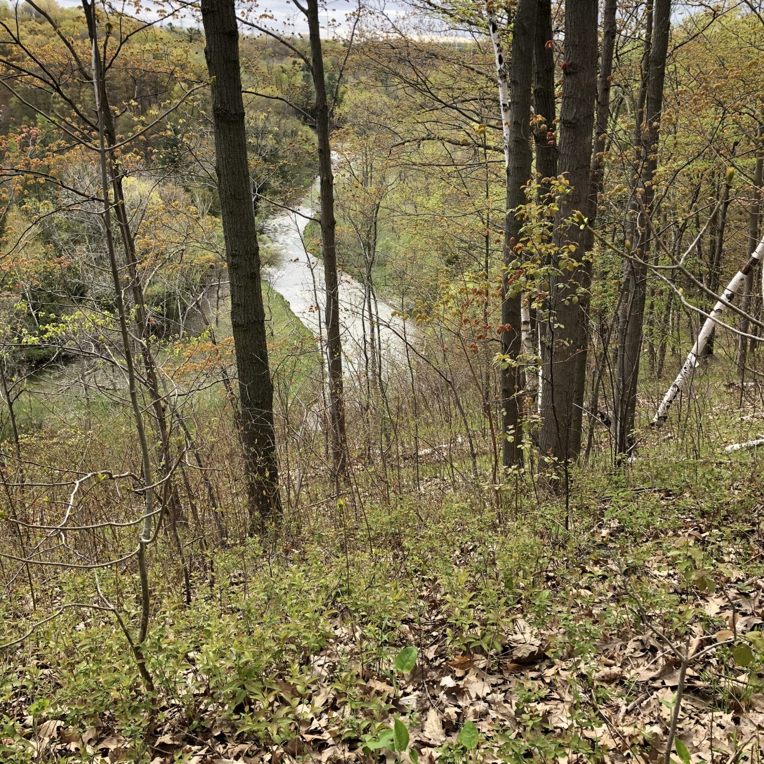
The delineation of erosion hazard lands associated with watercourses and shorelines is an integral component of the land use planning and development process. The designation of these lands is necessary to manage risk to property and infrastructure. Beacon staff have the expertise to provide defensible, science-based delineation of geomorphic-related hazard limits in conformance with provincial and conservation authority regulations.
Beacon’s approach uses a combination of empirical modelling and advanced spatial analytic techniques to determine development constraints, riparian areas regulated as Redside Dace habitat, erosion allowances for slope stability assessments, and baseline assessments to predict future shoreline recession.
Expertise
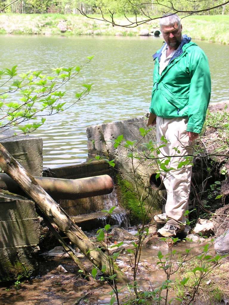
- Channel and slope stability assessments
- Stream erosion and migration analysis
- Meander-belt width and Redside Dace habitat delineation
- Toe erosion allowance recommendations
- Infrastructure risk assessments
- Geomorphic Systems Master Implementation Plans
- Scour analysis and depth-of-cover recommendations
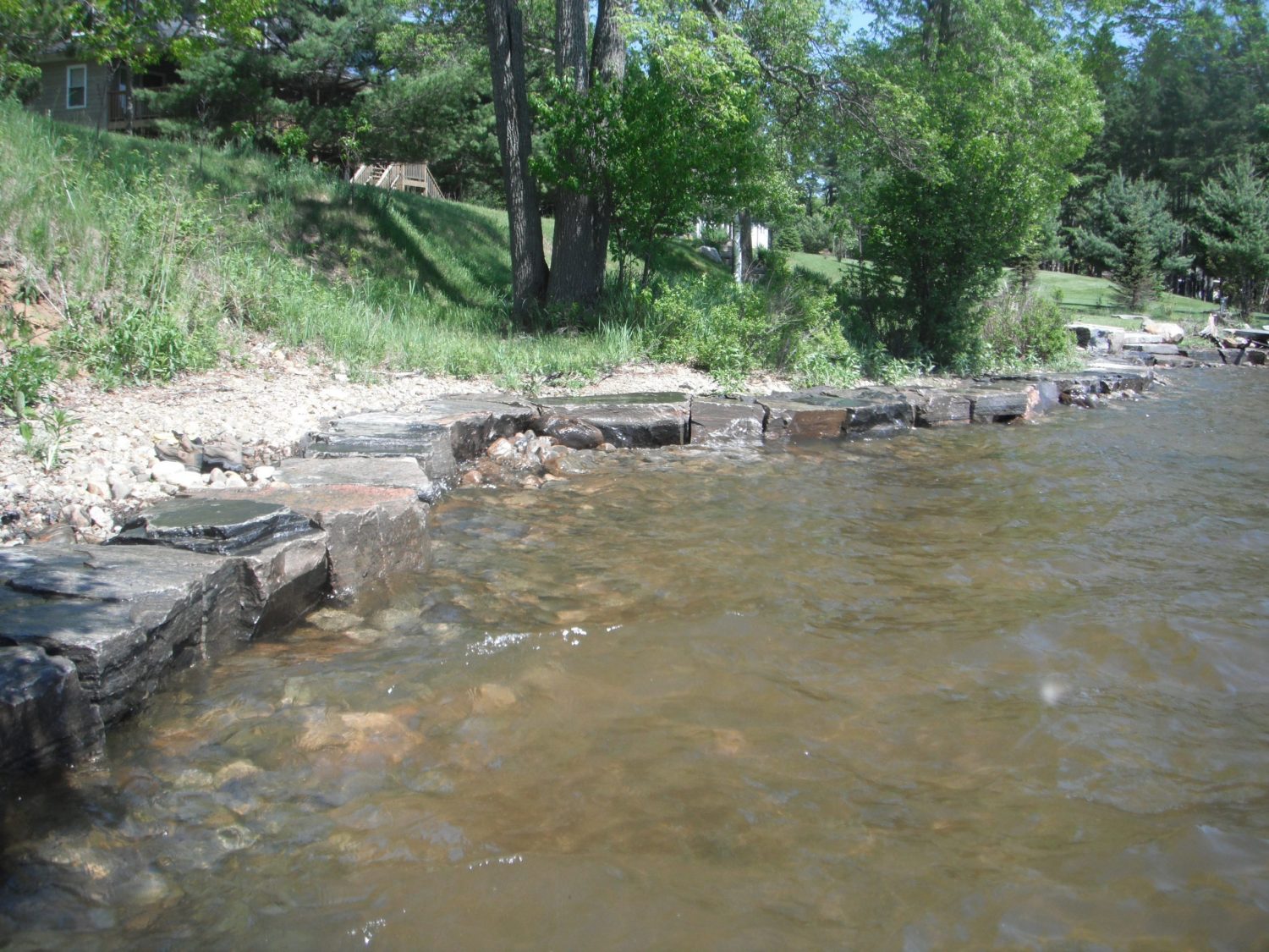
- Shoreline recession rate analysis
